
BEFORE AND AFTER 20th Century Mining at 850 Route 28
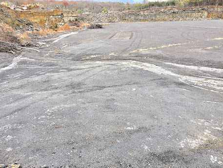
As you can see in these compare and contrast aerial photos - the first taken in 1958 and the second taken in 1978, that the 850 Route 28 site was severely damaged from open rock quarrying and mining. This site will greatly benefit from the plans for 850 by capturing all storm water runoff capture into two large filtration ponds, and improvising overall water quality from the site's runoff. And the site will be put back on the tax rolls for something needed locally - infrastructure for local roads and bridges.


Comments
Post a Comment